
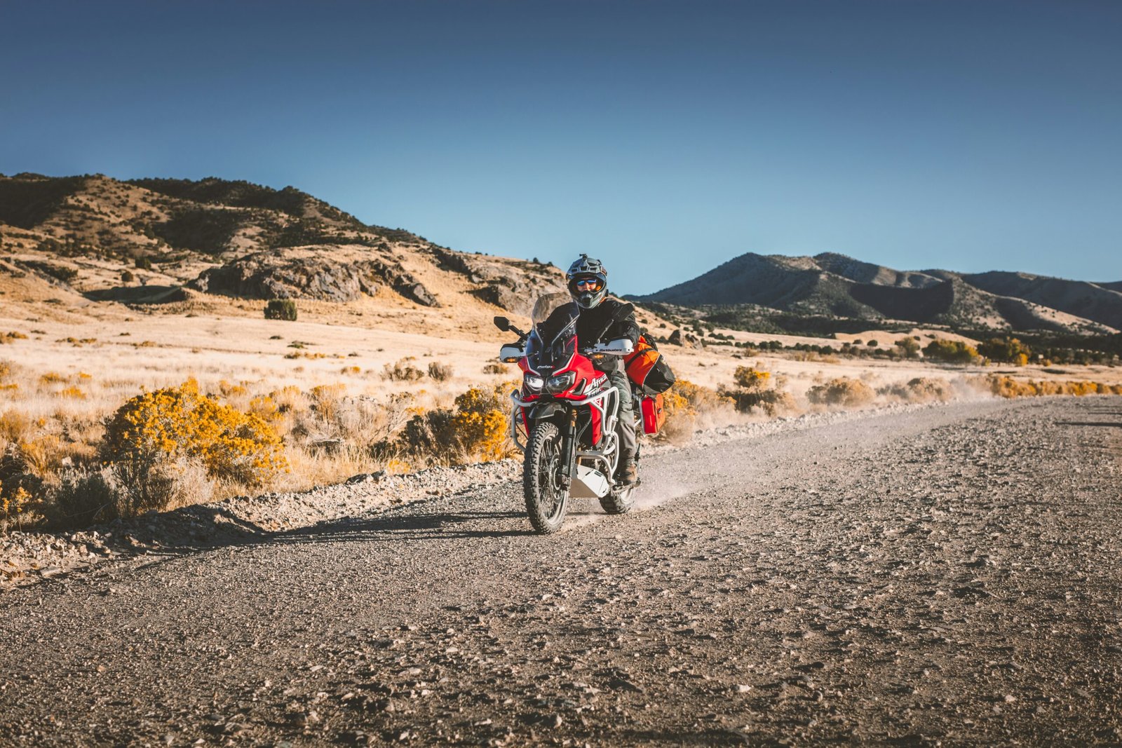
Young riders pick a destination, old riders pick a direction.
The planning journal explored the systems behind serious motorcycle expedition circuits: the machine, the rider, the logistics, the recovery discipline, and the operational thinking required before a wheel turns.
This one begins where that preparation starts becoming real.
Because eventually, every expedition rider reaches the same moment:
The maps open, the route options multiply, and the abstract idea of “going somewhere” becomes a specific circuit with its own altitude, terrain, remoteness, weather logic, fuel gaps, and consequence profile.
Not every route asks the same questions of a rider.
A Ladakh circuit tests altitude adaptation and endurance. Spiti tests terrain judgement and changing surfaces. Zanskar tests remoteness. The Northeast tests weather and unpredictability.
Internationally, the Pamir Highway, Patagonia, Iceland’s F-roads, and the Dalton Highway each demand a completely different relationship between rider, machine, and landscape.
This journal is not just a bucket list of motorcycle circuits. It is also a guide to understanding expedition circuits properly;
What they demand, how they differ, and why the same rider can feel completely competent on one route and completely exposed on another.
| Circuit | What It Primarily Tests |
|---|---|
| Ladakh | Altitude & endurance |
| Spiti | Terrain judgement |
| Northeast Frontier | Weather unpredictability |
| Zanskar | Remoteness |
| Pamir Highway | Expedition logistics |
| Iceland F-Roads | Surface variability |
| Dalton Highway | Isolation & recovery margins |
All VANCROS ratings are fair-weather, peak-season baselines.
Add one point to O and S axes for monsoon-season circuits. Add one point to O for any circuit immediately after the first winter snowfall.
All circuit distances are approximate, road diversions and seasonal rerouting are standard on Himalayan circuits. Verify current road conditions with BRO or state PWD before departure.
Related Journals
Overlanding in India: Choosing Your Vehicle, Format, and Road
Overland Expedition Planning: How to Plan One Like an Expert
The Ultimate Guide to Adventure Travel Experiences
Motorcycle Expedition Planning Guide
Motorcycle Expedition Circuits: India
Popular Scenic Circuits
| Circuit | State(s) | Distance | VANCROS |
|---|---|---|---|
| Manali–Leh Highway (NH3) | HP / Ladakh | ~475km | V3·A4·N2·C3·R3·O3·S4 |
| Srinagar–Leh Highway (NH1) | J&K / Ladakh | ~434km | V2·A3·N2·C3·R3·O2·S3 |
| Spiti Valley circuit (Shimla–Kaza–Manali) | Himachal Pradesh | ~475km | V3·A4·N3·C4·R4·O4·S4 |
| Konkan coastal loop (Mumbai–Goa–Mangaluru) | Maharashtra / Goa / Karnataka | ~1,200km | V1·A1·N1·C1·R1·O1·S2 |
| Coorg–Wayanad–Munnar Western Ghats | Karnataka / Kerala | ~650km | V2·A2·N2·C2·R2·O2·S2 |
| Rohtang–Lahaul–Baralacha loop | HP / Ladakh | ~380km | V3·A4·N2·C3·R3·O3·S4 |
| Tawang circuit (Tezpur–Bomdila–Tawang) | Arunachal Pradesh | ~520km | V3·A3·N2·C3·R3·O3·S3 |
| Zanskar Valley (Kargil–Padum) | Ladakh | ~230km | V3·A4·N3·C4·R4·O4·S4 |
Heritage and Cultural Circuits
| Circuit | State(s) | Distance | VANCROS |
|---|---|---|---|
| Rajasthan Desert Triangle (Jaipur–Jodhpur–Jaisalmer) | Rajasthan | ~700km | V1·A1·N1·C1·R1·O1·S2 |
| Deccan heritage (Hyderabad–Bidar–Hampi–Badami) | Telangana / Karnataka | ~850km | V1·A1·N1·C1·R1·O1·S1 |
| Bundelkhand heritage (Orchha–Khajuraho–Gwalior) | MP / UP | ~450km | V1·A1·N1·C2·R2·O1·S2 |
| Kaveri delta temples (Thanjavur–Kumbakonam–Gangaikonda) | Tamil Nadu | ~250km | V1·A1·N1·C1·R1·O1·S1 |
| Chettinad and Madurai heritage | Tamil Nadu | ~300km | V1·A1·N1·C1·R1·O1·S2 |
| Bishnupur–Santiniketan–Murshidabad | West Bengal | ~380km | V1·A1·N2·C1·R2·O1·S2 |
Pilgrimage Circuits
| Circuit | State(s) | Distance | VANCROS |
|---|---|---|---|
| Char Dham (Yamunotri–Gangotri–Kedarnath–Badrinath) | Uttarakhand | ~1,200km loop | V2·A3·N2·C2·R3·O2·S3 |
| Chota Char Dham (Uttarakhand variant) | Uttarakhand | ~900km | V2·A3·N2·C2·R3·O2·S4 |
| Panch Kedar (Kedarnath–Tungnath–Rudranath–Madhyamaheshwar–Kalpeshwar) | Uttarakhand | ~700km | V3·A3·N3·C3·R3·O3·S3 |
| Hemkund Sahib approach (Govindghat) | Uttarakhand | ~300km from Rishikesh | V2·A3·N2·C2·R3·O2·S4 |
| Vaishno Devi approach (Jammu–Katra) | J&K | ~740km from Delhi | V1·A2·N1·C1·R2·O1·S2 |
| Tirthan Valley–Jalori Pass pilgrimage loop | Himachal Pradesh | ~400km | V2·A3·N2·C3·R3·O3·S3 |
Frontier and Backcountry Circuits
| Circuit | State(s) | Distance | VANCROS |
|---|---|---|---|
| Umling La and Changthang plateau | Ladakh | ~600km loop from Leh | V4·A5·N3·C5·R5·O4·S4 |
| Northeast Frontier loop (7 states) | Assam to Manipur | ~4,500km | V3·A2·N3·C3·R4·O3·S3 |
| Mechuka approach (Aalo–Mechuka) | Arunachal Pradesh | ~320km | V3·A2·N4·C4·R5·O4·S3 |
| Munsiyari–Milam Glacier approach | Uttarakhand | ~280km from Almora | V3·A3·N3·C4·R4·O3·S3 |
| Kishtwar–Killar (Chenab Valley) | J&K | ~200km | V3·A3·N3·C5·R5·O5·S4 |
| Sangla Valley–Chitkul (end of the road) | Himachal Pradesh | ~260km from Shimla | V3·A3·N2·C3·R3·O3·S3 |
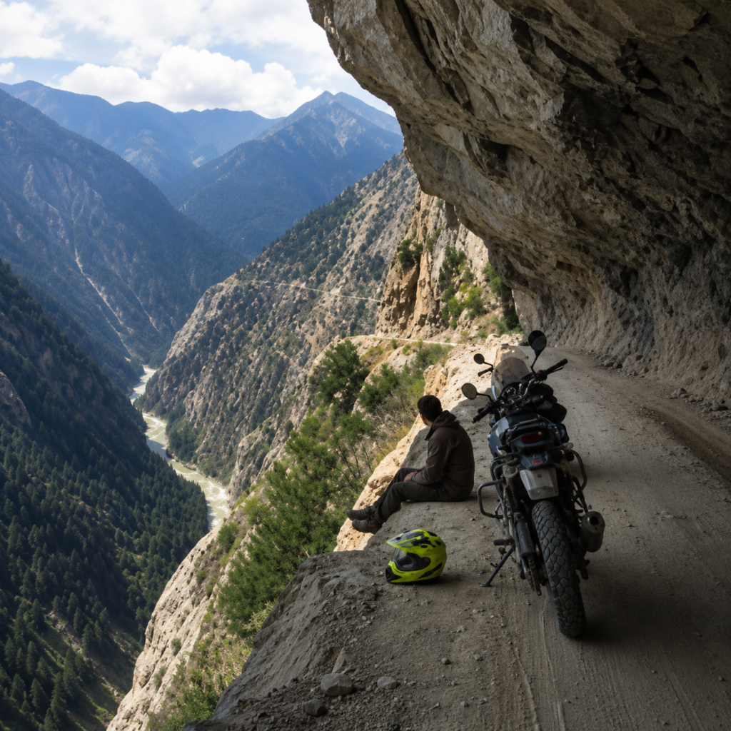
Dangerous Circuits (ride with full preparation or do not ride)
| Circuit | State(s) | VANCROS | Why it qualifies |
|---|---|---|---|
| Kishtwar–Killar road | J&K | V3·A3·N3·C5·R5·O5·S4 | Single-lane cliff road; no guardrails; rockfall common; minimal rescue access |
| Umling La summit approach | Ladakh | V4·A5·N3·C5·R5·O4·S4 | 5,883m; power loss severe; altitude illness rapid; zero services |
| Zoji La in monsoon | J&K / Ladakh | V3·A4·N3·C4·R4·O5·S5 | Waterfall over road; loose surface; visibility; no margin |
| Tawang–Zemithang road (Lumla sector) | Arunachal Pradesh | V3·A3·N4·C5·R5·O4·S3 | Military zone approach; road surface; extreme remoteness |
| Pangi Valley (Killar–Triloknath) | Himachal Pradesh | V3·A3·N3·C5·R5·O4·S4 | Narrow cliff road; 3,000m+ drops; minimal rescue infrastructure |
Food Trails
| Circuit | State(s) | Distance | Character |
|---|---|---|---|
| Coastal Karnataka seafood circuit (Mangaluru–Udupi–Gokarna) | Karnataka | ~300km | Konkani fish curry; Neer dosa; seafood thalis at family restaurants on the coastal highway |
| Chettinad food trail (Chennai–Madurai–Karaikudi) | Tamil Nadu | ~500km | Chettinad cuisine at source; family-run restaurants in heritage houses |
| Punjab food highway (Amritsar–Ludhiana–Chandigarh) | Punjab | ~300km | Langar at Harmandir Sahib; dhaba breakfast culture at its most authentic |
| Coastal Goa hinterland (Ponda–Quepem–Canacona) | Goa | ~150km | Xitt kodi; sorpotel; local feni at village tavernas |
| Coorg coffee and pork circuit | Karnataka | ~200km | Pandi curry; Kachambari; estate coffee at source |
Cross-country Circuits
| Circuit | Distance | Duration | VANCROS |
|---|---|---|---|
| Bharat Parikrama (full circumnavigation) | ~20,000km | 60–90 days | V2·A2·N2·C2·R2·O2·S2(average; varies enormously by section) |
| North-to-South (Leh to Kanyakumari) | ~3,800km | 18–25 days | V2·A3·N2·C2·R2·O2·S3 |
| East-West (Kolkata to Kutch via central India) | ~2,800km | 14–20 days | V1·A1·N2·C2·R2·O2·S2 |
| Himalayan lap (Srinagar–Leh–Manali–Spiti–back) | ~2,200km | 18–25 days | V3·A4·N2·C3·R3·O3·S4 |
International Circuits by Location Cluster
South Asia: Nepal and Bhutan
| Circuit | Country | VANCROS |
|---|---|---|
| Kathmandu valley loop (Nagarkot–Dhulikhel–Namobuddha) | Nepal | V2·A3·N2·C2·R2·O2·S2 |
| Annapurna circuit road (Besisahar–Manang–Muktinath) | Nepal | V3·A4·N2·C3·R3·O3·S3 |
| Upper Mustang highway (Lo Manthang) | Nepal | V3·A4·N2·C3·R4·O3·S3 |
| Bhutan permit highway (Thimphu–Bumthang–Trashigang) | Bhutan | V2·A3·N2·C2·R2·O2·S3 |
| Sri Lanka full island circuit | Sri Lanka | V1·A2·N1·C1·R1·O1·S2 |
Central Asia: Pamir and Kyrgyzstan
| Circuit | Country | VANCROS |
|---|---|---|
| Pamir Highway (M41: Osh–Murghab–Dushanbe) | Tajikistan / Kyrgyzstan | V4·A4·N4·C4·R5·O4·S4 |
| Wakhan Corridor (variant of Pamir approach) | Tajikistan / Afghanistan border | V4·A4·N4·C5·R5·O4·S4 |
| Song Kul Lake high circuit | Kyrgyzstan | V3·A3·N3·C4·R4·O3·S3 |
| Bishkek–Naryn–Torugart (China border) | Kyrgyzstan | V3·A4·N3·C4·R4·O3·S3 |
| Trans-Altai (Olgii to Khovd) | Mongolia | V4·A3·N4·C5·R5·O4·S3 |
| Mongolian Gobi crossing (Ulaanbaatar to Dalanzadgad) | Mongolia | V4·A2·N4·C5·R5·O4·S3 |
Southeast Asia Overland Corridor
| Circuit | Countries | VANCROS |
|---|---|---|
| Mae Hong Son loop (Chiang Mai circuit) | Thailand | V2·A2·N2·C2·R2·O2·S2 |
| Ho Chi Minh Trail (Hanoi–Hue via mountain roads) | Vietnam / Laos | V2·A2·N3·C2·R3·O2·S3 |
| Ha Giang loop (northern Vietnam) | Vietnam | V3·A3·N2·C2·R3·O3·S3 |
| Translaos (Vientiane–Luang Prabang–Phongsali) | Laos | V3·A2·N3·C3·R4·O3·S3 |
| Myanmar overland (Mandalay–Inle–Kalaw) | Myanmar | V2·A2·N2·C2·R3·O2·S3 |
[Verify current India-Myanmar border crossing status and Myanmar entry requirements for Indian nationals before planning]
Africa
| Circuit | Country | VANCROS |
|---|---|---|
| Morocco: High Atlas circuit (Marrakech–Ouarzazate–Zagora) | Morocco | V3·A3·N2·C3·R3·O3·S3 |
| Simien Mountains traverse | Ethiopia | V3·A4·N3·C4·R4·O3·S3 |
| East Africa overland (Nairobi–Serengeti–Ngorongoro) | Kenya / Tanzania | V3·A2·N3·C4·R4·O3·S3 |
| Namibia: Skeleton Coast and Namib | Namibia | V4·A1·N3·C4·R4·O4·S3 |
| South Africa: Garden Route to Sani Pass | South Africa / Lesotho | V3·A3·N2·C2·R3·O3·S2 |
Europe
| Circuit | Country | VANCROS |
|---|---|---|
| Transfăgărășan Highway (DN7C) | Romania | V2·A3·N1·C2·R2·O2·S4 |
| Stelvio Pass and Dolomites loop | Italy | V2·A3·N2·C2·R2·O2·S4 |
| Trollstigen and Geirangerfjord | Norway | V2·A2·N2·C2·R2·O2·S4 |
| Iceland F-roads (Highlands circuit) | Iceland | V4·A2·N3·C3·R4·O4·S4 |
| Scottish Highlands – NC500 | Scotland | V2·A1·N2·C2·R3·O2·S3 |
| Balkans circuit (Slovenia–Croatia–Bosnia–Montenegro) | Multi-country | V2·A2·N2·C2·R2·O2·S2 |
| Pyrenees HRP (partial road variant) | France / Spain | V2·A3·N3·C2·R3·O2·S3 |
Americas
| Circuit | Country | VANCROS |
|---|---|---|
| Colombia – Coffee Region and Tatacoa Desert | Colombia | V2·A2·N2·C2·R2·O2·S2 |
| Peru – Sacred Valley to Colca Canyon | Peru | V3·A4·N2·C3·R3·O2·S2 |
| Bolivia – Death Road (North Yungas) | Bolivia | V3·A3·N2·C3·R4·O4·S3 |
| Argentina – Ruta 40 (Patagonia section) | Argentina | V2·A2·N2·C2·R2·O2·S2 |
| Torres del Paine approach roads | Chile | V3·A2·N3·C3·R4·O3·S4 |
| Alaska – Dalton Highway (Fairbanks to Prudhoe Bay) | USA | V4·A1·N3·C4·R5·O4·S4 |
Community and Resources
India
Forums and Communities
Team-BHP (Home | Team-BHP – The Definitive Indian Car Website ) – India’s most rigorous motoring community; motorcycle touring section contains the most detailed first-person expedition accounts available in India; field reports, mechanical problem-solving, and route intelligence at an expert level
XBhp (xBhp.com – India’s biggest motorcycling platform! ) – broader motorcycle community; active touring section; more accessible than Team-BHP for newer riders
iRide – Royal Enfield-specific community with a strong Himalayan circuit focus
The Outdoor Journal – editorial coverage of motorcycle expeditions in India and internationally
Apps
OsmAnd – offline navigation with downloadable topo maps; the primary navigation app for Indian mountain circuits; learn the track import function before departure.
Maps.me – simpler offline navigation; better for route previewing, less powerful for expedition navigation
Wikiloc – community-sourced GPS tracks; many Indian mountain circuits have tracks uploaded by previous riders; verify track currency before using
iOverlander – campsite and waypoint database; community-sourced; covers India and international
YouTube channels (India-specific): Channels that document real expedition motorcycling – preparation, mechanical, route – rather than lifestyle photography. Search the Team-BHP forum for the most current community-endorsed list; YouTube channels change and quality varies significantly.
Gear retailers (India): Indiasossa (helmets), Motoism (gear, accessories), Royal Enfield Gear (RE-specific), local outfitters in Manali and Leh for expedition-specific supplies (tyre plugs, cables, common spares for RE and KTM).
International
Forums
ADVrider (Adventure Rider ) – the global standard for adventure motorcycle touring; country-specific threads with detailed route intelligence from riders who have been there recently
Horizons Unlimited (Welcome to the global home of motorcycle travel and overland adventure travel! ) – long-distance and international expedition motorcycling; the most comprehensive cross-border travel resource available.
Apps for International Circuits
Garmin Explore – pairs with inReach satellite communicator; the standard for remote international circuits
Gaia GPS– topographic mapping with offline download; strong coverage for Americas and Europe circuits
iOverlander – campsite database; good international coverage
Vehicle and License Permit
Carnet de Passage
For taking an Indian-registered motorcycle internationally, a Carnet de Passage en Douane (CPD) is required for most countries.
Issued through the Automobile Association of India (AAI) or Federation of Motor Sports Clubs of India (FMSCI).
Processing takes 4–8 weeks. Apply well in advance of any international circuit.
International Driving Permit
This permit enables Indian drivers to drive legally in foreign countries, facilitating international travel and driving across borders with proper authorization.
Frequently Asked Questions
What are motorcycle expedition circuits?
Motorcycle expedition circuits are long-distance riding routes designed around terrain immersion, operational endurance, remoteness, altitude, and self-reliant travel rather than simple destination-focused touring.
How are expedition circuits different from normal motorcycle routes?
Expedition circuits involve higher operational complexity through weather exposure, fuel planning, altitude management, terrain unpredictability, navigation demands, and logistical self-sufficiency.
Which are the best motorcycle expedition circuits in India?
Some of India’s most respected expedition circuits include Ladakh, Spiti Valley, Zanskar, Tawang, the Northeast Frontier Loop, Umling La, and the Himalayan Lap.
Why is the Ladakh circuit considered difficult?
The Ladakh region combines high altitude, oxygen reduction, long fuel gaps, weather instability, remote terrain, and physical fatigue, making it operationally demanding even on paved roads.
What is the VANCROS rating system?
VANCROS is a route evaluation framework that measures Vehicle capability, Altitude, Navigation, Commodity access, Remoteness, Obstacle severity, and Seasonality for expedition circuits.
What are some dangerous motorcycle expedition routes in India?
Routes such as Kishtwar–Killar, Umling La, Pangi Valley, Zoji La during monsoon, and the Tawang–Zemithang corridor are considered high-risk because of terrain exposure, remoteness, altitude, and rescue limitations.
Are international motorcycle expeditions realistic for Indian riders?
Yes. Indian riders increasingly explore international circuits such as Nepal, Bhutan, Central Asia, Southeast Asia, Patagonia, Iceland, and the Pamir Highway with proper documentation, preparation, and expedition planning.
Why does the same rider perform differently on different routes?
Every expedition route stresses different variables including altitude tolerance, weather adaptability, navigation skill, terrain judgement, fatigue resistance, and operational confidence.