
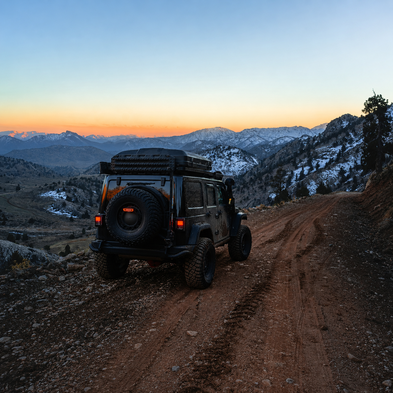
Before you choose a route, a pass, or even a destination, there is a more important question to answer: are you, your vehicle, and your plan actually ready for the journey ahead?
This is where overlanding shifts from aspiration to discipline.
The difference between a journey completed on your own terms and one that unravels in the field is rarely luck. It is preparation.
More specifically, it is your understanding of the variables that shape every overland expedition planning;
regardless of whether you ride a motorcycle, drive a crossover, pilot a fully equipped 4×4, or travel with a caravan in tow.
Route planning is often where people begin. In reality, it is where experienced overlanders finish.
Because by the time you select a route, you should already know what your vehicle can handle, how altitude will affect performance, what remoteness means for your margins, and where your personal limits sit.
Being consciously aware of these variables first, mastering them well, and the right road becomes obvious.
Related Overland Journals
Overlanding in India: Choosing Your Vehicle, Format, and Road
Off-Road Overland Expedition: How to Tour Like an Expert
Overland Expedition: Circuits & Routes
4×4 Overland Off-Road Recovery
Check out Other Field Notes Journals: Exploring Adventure, Wellness, Cultural and Wildlife
The Overland Expedition Planning Variables that Determine Everything
The seven variables that determine whether your expedition is a circuit you complete on your own terms or a situation someone else has to help you out of.
These variables apply to every vehicle type. Some have common weights across all four disciplines.
Some are vehicle-specific and demand different answers depending on what you are riding or driving.
The VANCROS framework, built from our expedition community’s collective intelligence and experiences.
| Beginner Planning Focus | Expedition Planning Focus |
|---|---|
| Destination selection | Operational readiness |
| Scenic routes | Terrain capability |
| Accommodation planning | Recovery margins |
| Fuel estimation | Commodity systems |
| Google Maps navigation | Redundant offline systems |
| Best season blogs | Seasonal risk windows |
Vehicle Capability (Vn)
It is the first and most commonly misjudged variable.
Every vehicle has a capability ceiling, a point at which the ground clearance, traction system, approach angle, and power delivery cannot manage what the road demands.
That ceiling is fixed by the vehicle’s design, not by the driver’s confidence.
The discipline is knowing exactly where your vehicle’s ceiling sits, not approximately.
A non 4×4 vehicle with 190mm of ground clearance vs a 4×4 with 250mm;
on an O4 rated road (boulder field, sustained river ford, steep loose switchbacks), that 60mm difference is not a preference, it is the difference between completing the section and not completing it.
For motorcycles, the equivalent variables are wheel size (21-inch front wheels handle loose terrain fundamentally differently from 17-inch), suspension travel, and the ratio of engine output to the loaded weight of the machine.
Vehicle-specific note – Caravan:
Towing dynamics change the capability calculation entirely.
A vehicle rated V3 for solo driving may be V2 when towing a 1,200kg trailer on a gradient.
Weight tongue loading, braking distance at altitude, and turn radius on narrow mountain roads are caravan-specific variables with no equivalent in solo vehicle overlanding.
Altitude (An)
It is underestimated by every overlander who has not yet driven above 4,000m.
At 5,000m, a fuel-injected vehicle loses approximately 30% of its sea-level power output. A carburetted engine loses more.
Cold-start failures at -15°C (common on high plateau camps in October) are not hypothetical, they are routine.
The physiological impact on the driver or rider at sustained altitude means reduced reaction time, impaired judgement, increased fatigue, is as significant as the mechanical impact on the vehicle.
Altitude planning is not acclimatisation notes in a trip report.
It is a specific set of vehicle preparations (cooling system check, tyre pressure management, battery condition assessment) and a personal preparation schedule (arriving at altitude before demanding terrain begins, not simultaneously with it).
Navigation (Nn)
Has changed dramatically with digital tools, and not entirely for the better.
Google Maps gives false confidence on roads where mobile data is absent and the last OSM update was three years ago.
The overlander who has only ever navigated with a data connection is not N4-capable, they are N2-capable with upto N2 tools.
Offline maps (http://Maps.me , OsmAnd) are the baseline.
Pre-loaded GPS tracks on a dedicated device (Garmin, Wahoo, or motorcycle-specific GPS) are the standard for any circuit above N2.
Paper topo maps and magnetic compass are not retro affectations;
on a five-day traverse of terrain where the GPS track splits three ways and your phone battery is at 12%, they are the plan that works when the primary plan has failed.
Vehicle-specific note – Motorcycle:
Navigation on a motorcycle introduces physical constraints that car drivers do not face. Checking a phone mount while riding on a loose surface is a distraction at the worst possible moment.
The investment in a handlebar-mounted dedicated GPS device, pre-loaded with offline maps and tracks before departure, pays for itself on the first day of serious navigation.
The habit of cross-referencing – check the track against the terrain, not just the screen is the single most important navigation skill a rider can develop.
Commodity Access (Cn)
Is the variable that turns a planned three-day section into a five-day rescue operation.
Fuel is the most obvious commodity, but parts, food, water, and medical supplies follow the same logic.
On the Manali-Leh Highway in peak season (July-September), the fuel gap between Keylong and Pang is approximately 135km at altitude.
With a standard tank and fuel consumption affected by altitude and gradient, some vehicles do not complete that gap without a supplementary can.
Off peak season, both the Keylong and Pang fuel stations operate on irregular schedules. The information that is current in one season may not apply the next.
Spares are a more complex commodity variable.
The spares kit for a Royal Enfield Himalayan on the Ladakh circuit is well-documented in the community – clutch cable, throttle cable, rear brake lever, tyre plugs, tubeless repair kit, specific engine oil.
The spares kit for a Mahindra Thar on the Zanskar Valley circuit is a different list with different priorities.
The caravan’s spares list extends to the tow vehicle and the caravan’s own systems;
water pump, solar panel connections, gas regulator.
Carrying the wrong spares is almost as dangerous as carrying none.
Remoteness (Rn)
Is NOT about how far you are from civilisation on a map.
It is about how long it takes external help to reach you if something goes wrong.
The Mechuka approach road in Arunachal Pradesh is not geographically extreme by the standards of global overlanding but it is five to six hours from any vehicle workshop or medical facility, and helicopter access in poor weather may be a two-day wait.
That is a remoteness calculation, not a distance calculation.
Vehicle-specific note – Non-4×4:
The remoteness variable is most consequential for non-4×4 overlanders because their recovery options are most limited.
A motorcycle can be pushed, carried, or ridden lightly through terrain that stops a car.
A capable 4×4 with recovery gear can self-recover from situations that would strand a crossover permanently.
The non-4×4 overlander’s correct response to high R-ratings is to never travel alone, to carry more safety margin than they think they need, and to set a personal turn-around rule before departure;
a specific condition at which they will reverse regardless of how close the circuit’s end feels.
Obstacle Severity (On)
It is the axis that changes most dramatically with season and recent weather.
The NHDCL and BRO publish road closure notices but they do not publish the condition of every section between the closures.
A road that is O3 in September may be O4 in October after the first snow cycle has melted and refrozen on the surface.
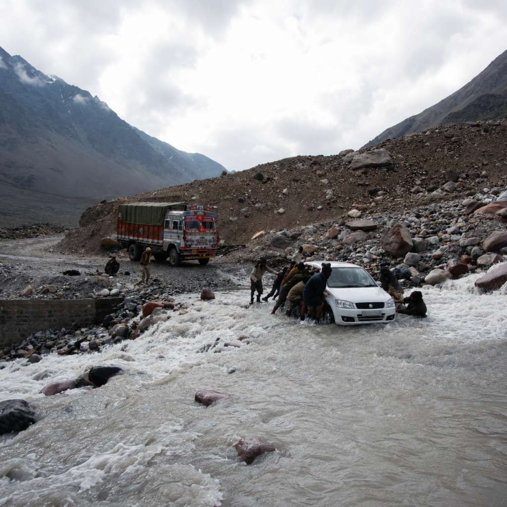
A river ford that is knee-deep in August may be waist-deep after three days of upstream rain you did not know about.
Reading the obstacle in front of you in real time, getting out of the vehicle, walking the next section before driving it, understanding what the surface is doing before committing, is the most important single habit an overlander can develop.
Season (Sn)
It governs everything.
The Manali-Leh Highway is typically open from late May or June to October.
The Spiti circuit has a broader summer window but the passes close faster.
The Zanskar Valley road is a monsoon-period route, accessible only when the high passes are clear, which conflicts directly with the monsoon conditions in the lower sections.
The Northeast Frontier is at its most accessible between October and April; the monsoon makes several sections impassable and several others genuinely dangerous.
Season planning is not equivalent to “best time to visit Ladakh is July-August.”
It is understanding the specific window for every pass and ford on your route, the expected weather events within that window, the last reliable exit point before conditions deteriorate, and the specific actions required if the window closes while you are inside it.
Overlanders who get this right complete their circuits. Overlanders who get it wrong call for help.
The VANCROS Rating: A Consistent Language for the Road
The seven variables as described in the section above:
Vehicle, Altitude, Navigation, Commodity, Remoteness, Obstacle, Season; are the axes of the VANCROS rating.
Every circuit in GDT’s overland journals carries a VANCROS profile: seven values, each rated 1 to 5, written as a compact seven-character string that reads like a tyre spec once you know the format.
V3·A4·N2·C3·R3·O3·S4 is the Manali-Leh Highway.
It tells you, at a glance:
Capable SUV or 4×4 Vehicle recommended (V3);
Significant Altitude demand with pass crossings above 4,500m (A4);
For Navigation, offline maps sufficient, no major route-finding challenge (N2);
For Commodity, fuel planning required for one or two gaps and basic spares (C3);
Remoteness scale, 2-6 hours from help on some sections (R3);
Obstacles severity, significant gravel and broken surface but no extreme obstacles (O3); and,
Strict Seasonal window, closed outside it (S4).
Read it against your vehicle and skill level.
If your Vehicle-rating is V2 and the circuit is labelled V3, the circuit is telling you something specific.
If your navigation practice is N1 and the circuit is N3 , that gap is a preparation task before the route planning begins.
The VANCROS is not a difficulty score. It is a planning profile.
Two circuits with identical aggregate numbers can be completely different experiences;
V4·A1 desert circuit and a V1·A4 high-altitude circuit are both demanding, but in ways that demand completely different preparation.
| Variable | Assessment |
|---|---|
| V | Vehicle capability |
| A | Altitude |
| N | Navigation |
| C | Commodity access |
| R | Remoteness |
| O | Obstacle severity |
| S | Seasonality/Climate Conditions |
The child journals carry the full VANCROS index for every major circuit, India and international. <to be published>
The Aspiration and the Horizon
Most Indian overlanders start (or seeks) with Manali-Leh.
It is the circuit that radicalises people, that converts a person who liked driving into a person for whom the road is a discipline.
The pass crossings, the altitude, the specific quality of arriving at Leh after three days of Himalayan driving with a machine you know better than you did when you left, it is not a holiday. It is an education.
From Manali-Leh, the horizon expands. Spiti, for the rider who wants the road without the traffic.
The Northeast Frontier loop, for the person who realises that India’s overland geography is not only vertical.
The Bharat Parikrama, for the person who needs to understand the country at road level.
And then, eventually, the international circuits, the Pamir Highway, which is what Spiti is training you for.
Mongolia’s tracks, which are what Changthang is pointing at.
The Australian outback, which is what every desert crossing in Rajasthan has been building toward.
The machine changes. The preparation gets more specific. The circuits get more remote.
But the fundamental relationship between a driver or rider, their vehicle, and a road that demands something from both, stays constant from the first mountain pass to the last.
The only question that matters is which road is in your head right now. The one you haven’t driven yet.
Find your vehicle type below. Find your circuit. Start planning.
Frequently Asked Questions
What is overland expedition planning?
Overland expedition planning is the process of preparing for self-reliant vehicle-based travel through remote environments by evaluating terrain, altitude, navigation, logistics, weather, remoteness, and operational capability.
What are the most important variables in overland planning?
The most important variables include vehicle capability, altitude, navigation systems, commodity access, remoteness, obstacle severity, and seasonal conditions.
Why is route planning not the first step in overlanding?
Experienced overlanders evaluate capability, terrain tolerance, recovery margins, and operational systems before selecting a route because the route only becomes meaningful once those variables are understood.
How does altitude affect overland expeditions?
High altitude affects both machines and humans. Vehicles lose power output, cold-start reliability changes, tyre pressure fluctuates, and drivers experience fatigue, slower reaction time, and impaired judgement.
Why are offline navigation systems important for overlanding?
Remote terrain often lacks mobile data coverage and accurate live mapping updates. Offline GPS systems, preloaded maps, and physical navigation backups remain essential for reliable expedition travel.
What is the VANCROS rating in Overland expedition planning?
The GDT VANCROS Rating is a seven-variable expedition planning framework that evaluates Vehicle capability, Altitude, Navigation, Commodity access, Remoteness, Obstacle severity, and Seasonality for overland routes.
Why is remoteness different from distance?
Remoteness is measured by how long it takes external assistance to reach you during failure or emergency situations—not simply by geographic distance from cities or infrastructure.
Why is season planning critical for overland expeditions?
Season determines road accessibility, river depth, weather stability, pass openings, rescue feasibility, and terrain conditions. Incorrect seasonal planning is one of the most common causes of expedition failure.