
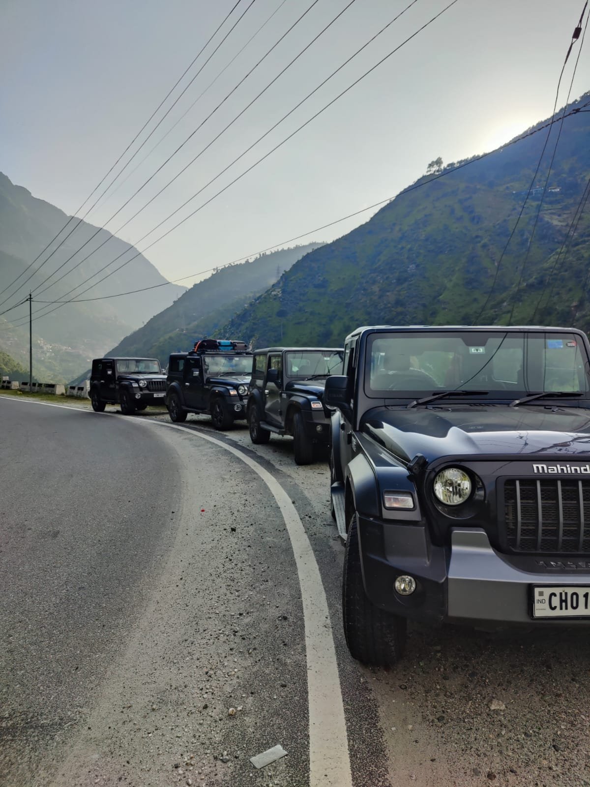
The previous journal explored the systems behind serious 4×4 overland expeditions: the machine, the driver, the logistics, the recovery discipline, and the operational thinking required before a wheel turns. This journal begins where that preparation starts becoming real.
Because eventually, every expedition driver reaches the same moment:
the maps open, the route options multiply, and the abstract idea of “going somewhere” becomes a specific circuit with its own altitude, terrain, remoteness, weather logic, fuel gaps, and consequence profile.
Not every route asks the same questions of a driver.
A Ladakh circuit tests altitude adaptation and endurance. Spiti tests terrain judgement and changing surfaces. Zanskar tests remoteness. The Northeast tests weather and unpredictability.
Internationally, the Pamir Highway, Patagonia, Iceland’s F-roads, and the Dalton Highway each demand a completely different relationship between driver, machine, and landscape.
These overland expedition circuits are not a bucket list of overland routes. It is a field notes to understanding expedition circuits properly:
what they demand, how they differ, and why the same rider can feel completely competent on one route and completely exposed on another.
Read the circuit correctly, and the drive becomes possible long before the engine starts.
Related Overland Journals
Overlanding in India: Choosing Your Vehicle, Format, and Road
Off-Road Overland Expedition: How to Tour Like an Expert
4×4 Overland Off-Road Recovery
Check out Other Field Notes Journals: Exploring Adventure, Wellness, Cultural and Wildlife
VANCROS Reference:
The VANCROS framework, built from decades of collective intelligence and experiences from our overlander community.
It is a seven-variable expedition planning framework that evaluates Vehicle capability, Altitude, Navigation, Commodity access, Remoteness, Obstacle severity, and Seasonality for overland routes.
Read it like a tyre rating to assess the seven variables
Every circuit in GDT’s overland journals carries a VANCROS profile: seven values, each rated 1 to 5, written as a compact seven-character string that reads like a tyre spec once you know the format.
The VANCROS is not a difficulty score. It is a planning profile.
Two circuits with identical aggregate numbers can be completely different experiences;
V4·A1 desert circuit and a V1·A4 high-altitude circuit are both demanding, but in ways that requires completely different preparation.
All VANCROS ratings are fair-weather, peak-season baselines.
Add one point to O and S axes for monsoon or immediate post-monsoon circuits.
Verify BRO / state PWD road conditions before departure.
All circuits rated O4+ require at minimum:
a capable 4×4 with low-range and mechanical differential lock, AT or MT tyres, full recovery kit including snatch strap and shackles, and at least two vehicles.
India Circuits by Category
Scenic Circuits
| Circuit | State(s) | Distance | VANCROS Rating |
|---|---|---|---|
| Manali–Leh Highway (NH3) | HP / Ladakh | ~475km | V3A4N2C3R3O3S4 |
| Srinagar–Leh Highway (NH1) | J&K / Ladakh | ~434km | V2A4N2C3R3O2S4 |
| Spiti Valley circuit (Shimla–Kaza–Manali) | Himachal Pradesh | ~475km | V4A4N3C4R4O4S4 |
| Zanskar Valley (Kargil–Padum–Nimmu) | Ladakh | ~350km | V4A4N3C4R4O4S4 |
| Umling La and Changthang plateau | Ladakh | ~600km loop from Leh | V5A5N3C5R5O4S4 |
| Pin Valley approach (Kaza–Sagnam) | Himachal Pradesh | ~70km from Kaza | V4A4N3C4R4O4S3 |
| Konkan coastal loop | Maharashtra / Goa / Karnataka | ~1,200km | V1A1N1C1R1O1S2 |
| Tawang–Zemithang–Lumla circuit | Arunachal Pradesh | ~700km from Guwahati | V4A3N4C5R5O4S3 |
Heritage and Cultural Circuits
| Circuit | State(s) | Distance | VANCROS |
|---|---|---|---|
| Rajasthan full circuit | Rajasthan | ~1,400km | V1A1N1C1R1O1S2 |
| Deccan heritage (Hampi–Badami–Bidar) | Karnataka / Telangana | ~850km | V1A1N1C1R1O1S1 |
| Bishnupur–Santiniketan–Murshidabad | West Bengal | ~380km | V1A1N2C2R2O1S2 |
| Bundelkhand circuit (Orchha–Khajuraho–Gwalior) | MP / UP | ~450km | V1A1N1C2R2O1S2 |
| Hampi and the Tungabhadra basin | Karnataka | ~600km | V1A1N1C1R2O1S2 |
Pilgrimage Circuits
| Circuit | State(s) | Distance | VANCROS |
|---|---|---|---|
| Char Dham (Yamunotri–Gangotri–Kedarnath–Badrinath) | Uttarakhand | ~1,200km from Delhi | V2A3N2C2R3O2S4 |
| Panch Kedar (full circuit including approach tracks) | Uttarakhand | ~900km from Delhi | V3A3N3C3R3O3S3 |
| Spiti monastery circuit (Kaza–Tabo–Dhankar–Key–Kibber) | Himachal Pradesh | ~200km from Kaza | V4A4N3C4R4O4S4 |
| Hemis–Thiksey–Likir–Alchi monastery circuit | Ladakh | ~150km from Leh | V3A4N2C3R3O3S3 |
| Tawang monastery and Urgelling approach | Arunachal Pradesh | ~550km from Guwahati | V3A4N3C3R3O3S3 |
Frontier and backcountry circuits
| Circuit | State(s) | Distance | VANCROS |
|---|---|---|---|
| Umling La and Changthang full plateau | Ladakh | ~600km from Leh | V5A5N3C5R5O4S4 |
| Zanskar valley (Kargil–Padum–Nimmu) | Ladakh | ~350km | V4A4N3C4R4O4S4 |
| Northeast frontier full loop (7 states) | Assam to Manipur | ~4,500km | V3A2N3C3R4O3S3 |
| Mechuka approach (Aalo–Mechuka) | Arunachal Pradesh | ~320km | V4A2N4C4R5O4S3 |
| Kishtwar–Killar road (Chenab Valley) | J&K | ~200km | V4A3N3C5R5O5S4 |
| Rann of Kutch seasonal crossing | Gujarat | ~300km | V4A1N3C3R3O4S3 |
| Sangla–Chitkul–Rakcham | Himachal Pradesh | ~280km from Shimla | V4A3N3C4R4O4S3 |
| Pangi Valley (Killar–Triloknath) | Himachal Pradesh | ~200km | V4A3N3C5R5O4S4 |
| Milam–Ralam–Yankchar high circuit | Uttarakhand | ~400km from Almora | V3A2N3C3R4O3S3 |
Dangerous circuits (full preparation mandatory)
| Circuit | State(s) | VANCROS | Why it qualifies |
|---|---|---|---|
| Kishtwar–Killar road | J&K | V4A3N3C5R5O5S4 | Single-lane cliff road; frequent rockfall; no guardrails; multi-day rescue timeline |
| Umling La approach (full) | Ladakh | V5A5N3C5R5O4S4 | 5,883m; severe AMS risk; complete fuel and service absence; non-negotiable seasonal window |
| Zoji La in monsoon | J&K / Ladakh | V4A4N3C4R4O5S5 | Waterfall-over-road conditions; unstable surface; limited visibility; no margin |
| Pangi Valley road | Himachal Pradesh | V4A3N3C5R5O4S4 | Narrow cliff face; 3,000m vertical exposure on sections; no infrastructure |
| Tawang–Zemithang–Lumla (Arunachal frontier) | Arunachal Pradesh | V4A3N4C5R5O4S3 | Military zone proximity; road condition extremes; multi-day from any service |
Wildlife and nature circuits
| Circuit | State(s) | Distance | VANCROS |
|---|---|---|---|
| Central India wildlife corridor (Kanha–Pench–Bandhavgarh) | Madhya Pradesh | ~750km | V2A1N2C2R2O2S2 |
| Kaziranga–Manas–Nameri | Assam | ~400km | V2A1N2C2R2O2S2 |
| Rann of Kutch and Gir (Gujarat wildlife circuit) | Gujarat | ~900km | V3A1N2C3R3O3S3 |
| Namdapha–Kamlang approach (Arunachal) | Arunachal Pradesh | ~450km from Dibrugarh | V4A2N4C4R5O4S3 |
| Dibang Valley (Roing–Anini) | Arunachal Pradesh | ~300km from Roing | V4A2N4C4R5O4S3 |
Food trails
| Circuit | State(s) | Distance | Character |
|---|---|---|---|
| Spiti food and monastery circuit | Himachal Pradesh | ~200km from Kaza | Tsampa (roasted barley) breakfast at monastery guesthouses; butter tea; dried apricot at altitude; food as survival cuisine |
| Northeast organic food trail (Nagaland–Manipur–Meghalaya) | Northeast India | ~800km | Smoked pork; bamboo shoot preparations; axone at source; Mizo veg thali; Manipuri singju |
| Punjab dhaba circuit (the real one) | Punjab | ~400km | Family-run highway dhabas outside the tourist belt; tandoori roti and dal makhani at the establishments that have not changed in 40 years |
| Coorg–Kodagu coffee and pork heritage | Karnataka | ~200km | Pandi curry; Akki rotti; coffee estate breakfast at source |
Cross-country circuits
| Circuit | Distance | Duration | VANCROS |
|---|---|---|---|
| Himalayan lap (Srinagar–Leh–Manali–Spiti–back) | ~2,200km | 18–25 days | V4A4N3C4R4O4S4 |
| Northeast frontier full loop | ~4,500km | 28–35 days | V3A2N3C3R4O3S3 |
| Bharat Parikrama (off-road variant) | ~25,000km | 75–100 days | V3A2N3C2R2O3S1 (average) |
| South–North (Kanyakumari to Leh) | ~4,000km | 20–28 days | V3A4N2C3R3O3S4 |
International Circuits by Cluster
South Asia: Nepal, Bhutan
| Circuit | Country | VANCROS |
|---|---|---|
| Annapurna circuit road (Besisahar–Manang–Muktinath) | Nepal | V3A4N2C3R3O3S3 |
| Upper Mustang (Lo Manthang and beyond) | Nepal | V4A4N3C4R4O4S3 |
| Humla approach (Simikot access road) | Nepal | V4A4N4C5R5O4S3 |
| Bhutan – Trashigang to Merak–Sakteng (restricted) | Bhutan | V3A3N3C3R4O3S3 |
| Lower Mustang off-road circuit | Nepal | V3A3N3C3R3O3S3 |
Central Asia: Pamir, Kyrgyzstan, Mongolia
| Circuit | Country | VANCROS |
|---|---|---|
| Pamir Highway full (M41: Osh–Murghab–Dushanbe) | Tajikistan / Kyrgyzstan | V4A4N4C4R5O4S4 |
| Wakhan Corridor (Ishkashim–Langar–Zorkul) | Tajikistan | V4A4N4C5R5O4S4 |
| Song Kul Lake high circuit | Kyrgyzstan | V4A3N3C4R4O3S3 |
| Bishkek–Naryn–Torugart | Kyrgyzstan | V3A4N3C4R4O3S3 |
| Mongolian Gobi crossing (Ulaanbaatar–Dalanzadgad) | Mongolia | V4A2N4C5R5O4S3 |
| Western Mongolia – Altai and Kazakh country | Mongolia | V4A3N4C5R5O3S3 |
East Africa
| Circuit | Country | VANCROS |
|---|---|---|
| East Africa overland (Nairobi–Serengeti–Ngorongoro) | Kenya / Tanzania | V4A2N3C4R4O3S3 |
| Northern Kenya frontier (Marsabit–Turkana) | Kenya | V4A2N4C4R5O4S3 |
| Uganda – Queen Elizabeth to Bwindi | Uganda | V3A2N3C3R4O3S3 |
| Rwanda–DRC border circuits | Rwanda | V3A2N3C3R4O3S3 |
Southern Africa
| Circuit | Country | VANCROS |
|---|---|---|
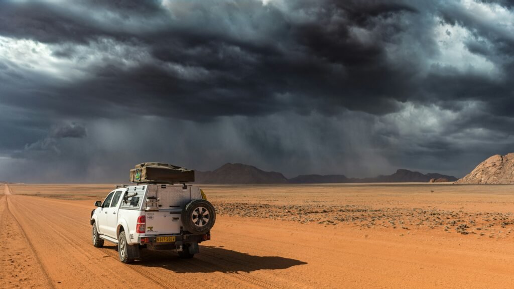
| Namibia – Skeleton Coast and Namib | Namibia | V4A1N3C4R4O4S3 |
| Botswana – Okavango and Kalahari | Botswana | V4A1N4C4R4O4S3 |
| South Africa – Sani Pass and Drakensberg | South Africa / Lesotho | V4A3N2C3R3O4S3 |
| Zimbabwe – Hwange and Mana Pools | Zimbabwe | V3A1N3C4R4O3S3 |
Australia: Outback
| Circuit | State | VANCROS |
|---|---|---|
| Canning Stock Route (south to north) | Western Australia | V5A1N5C5R5O5S4 |
| Simpson Desert crossing (east to west) | SA / NT / QLD | V5A1N4C5R5O4S4 |
| Gibb River Road (Kimberley) | Western Australia | V4A1N2C4R4O4S3 |
| Cape York Peninsula (Telegraph Road) | Queensland | V4A1N3C4R4O4S3 |
| Oodnadatta Track and Strzelecki | South Australia | V4A1N3C4R4O4S3 |
Note on Australian outback circuits:
These require specific preparation beyond the Indian overland standard.
The Canning Stock Route (1,850km of unmaintained tracks through the Western Australian desert with 51 wells as the only water sources) is the world’s most technically demanding mainstream 4×4 circuit.
Carry: 400+ litres of fuel capacity (via long-range tanks and jerry cans), 200+ litres of water, food for 25+ days, HF radio (satellite communicator is supplementary, not sufficient on the CSR), and a spare tyre for every 200km.
Research the most current well condition reports from the Canning Stock Route Association before departure. Refer current Birriliburu Aboriginal Corporation permit requirements for the CSR.
Americas
| Circuit | Country | VANCROS |
|---|---|---|
| Bolivia – Death Road and Salar de Uyuni approach | Bolivia | V4A4N3C3R4O4S3 |
| Peru – Huayhuash and Cordillera Blanca access roads | Peru | V4A4N3C4R4O4S2 |
| Argentina – Ruta 40 full (south to north) | Argentina | V3A2N3C3R4O3S3 |
| Chile – Carretera Austral full | Chile | V4A2N3C3R4O4S3 |
| Alaska – Dalton Highway (Fairbanks–Prudhoe Bay) | USA | V4A1N3C4R5O4S4 |
| Baja California peninsula | Mexico | V3A1N3C3R3O43S2 |
Europe
| Circuit | Country | VANCROS |
|---|---|---|
| Iceland F-roads (Highlands full circuit) | Iceland | V5A2N4C3R4O5S4 |
| Transfăgărășan Highway (DN7C) | Romania | V2A3N1C2R2O2S4 |
| Scottish Highlands – remote estate tracks | Scotland | V4A1N4C3R4O4S3 |
| Norway – Finnmark plateau winter circuit | Norway | V4A1N4C3R4O4S5 |
| Pyrenees – technical mountain pass circuit | France / Spain | V3A3N3C2R3O3S4 |
Note on Iceland F-roads:
Iceland’s interior Highland roads (F-roads) are only legally driveable in an approved 4×4.
The rental car agreement for a standard car in Iceland explicitly voids all insurance on F-roads;
A 2WD vehicle on an F-road has no insurance, no legal support, and no rescue obligation from the rental company.
The F210 (Fjallabak Nature Reserve) and the F35 (Kjölur route) are the most popular.
The F26 (Sprengisandur) and the highlands interior routes are V5 terrain in mid-summer and genuinely dangerous when the river crossings are running at spring flood levels. Verify current F-road opening dates and crossing condition reports before planning.
Notable Community and Resources
India
Forums and communities:
Team-BHP (Home | Team-BHP – The Definitive Indian Car Website )
XBhp 4×4 and offroad section: active community; quicker information exchange than Team-BHP; less curated but more current
Mahindra Adventure: Mahindra’s own offroad programme; runs training events and guided expeditions; the training events (Thar Drive, Xtreme challenge) are a legitimate skill-building pathway for Thar owners before serious independent circuits
Himalayan Four-Wheel-Drive club (H4WD): active 4×4 club network covering the Himalayan circuits; monthly runs and annual expedition events; community knowledge on current road conditions, permit changes, and fuel infrastructure is frequently more current than any published source
Training: Off-road driving technique is a skill that must be practised before serious terrain, not learned on the circuit. Mahindra Adventure runs training events. Several private operators in Bangalore, Pune, Mumbai, and Delhi offer half-day and full-day off-road technique sessions on dedicated training terrain.
These sessions, diff lock engagement, low-range driving, traction board use, recovery rigging are the most efficient investment a new 4×4 overlander can make before their first serious circuit.
Apps
OsmAnd: offline navigation with GPX track import; essential for any circuit above N3
Wikiloc: community GPS tracks; verify track currency and vehicle type before using
iOverlander: campsite, waypoint, and crossing database; community-sourced; good coverage for Himalayan and Northeast circuits
Garmin Explore: pairs with inReach satellite communicator; trip planning and real-time position sharing
Recovery gear suppliers (India): Terrain Tuff, Off Road Adda, and Jeep Freaks India (online) for snatch straps, shackles, traction boards, and Hi-Lift jacks. For winches: Warn, Smittybilt, and Runva are available through authorised dealers in major cities.
International Forums
Expedition Portal (Expedition Portal ): the global standard for serious 4×4 expedition research; country-specific threads with route intelligence from drivers who have completed the circuits; the Africa, Central Asia, and Australia sections are particularly authoritative
iOverlander: campsite and crossing database; strongest coverage in Africa, South America, and Australia
Canning Stock Route Association (Australia): the authoritative source for CSR preparation, well condition reports, and Aboriginal land access permits
Carnet de Passage: Required for all international 4×4 circuits. Issued through the Automobile Association of India (AAI) or Federation of Motor Sports Clubs of India (FMSCI). Processing time 4–8 weeks minimum. Verify current processing time and country-specific requirements before planning.
International recovery and safety standards: For circuits in Africa and the Middle East, register your itinerary with the relevant country’s tourist assistance programme before departure.
In Namibia, register with Namibia Tourism Board and carry emergency VHF radio for Etosha and remote park circuits.
In Australia, lodge a trip plan with the relevant state police rescue coordination centre for any remote outback circuit.
Prepare the vehicle. Build the skills. Know the recovery techniques. Go further.
Frequently Asked Questions
What are overland expedition circuits?
Overland expedition circuits are long-distance riding routes designed around terrain immersion, operational endurance, remoteness, altitude, and self-reliant travel rather than simple destination-focused touring.
How are expedition circuits different from normal road-trips routes?
Expedition circuits involve higher operational complexity through weather exposure, fuel planning, altitude management, terrain unpredictability, navigation demands, and logistical self-sufficiency.
Which are the popular overland expedition circuits in India?
Some of India’s most respected expedition circuits include Ladakh, Spiti Valley, Zanskar, Tawang, the Northeast Frontier Loop, Umling La, and the Himalayan Lap.
What is the VANCROS rating system?
The VANCROS is a route evaluation framework that measures Vehicle capability, Altitude, Navigation, Commodity access, Remoteness, Obstacle severity, and Seasonality for expedition circuits.
What are some dangerous overland expedition routes in India?
Routes such as Kishtwar–Killar, Umling La, Pangi Valley, Zoji La during monsoon, and the Tawang–Zemithang corridor are considered high-risk because of terrain exposure, remoteness, altitude, and rescue limitations.
Why does the same driver perform differently on different routes?
Every expedition route stresses different variables including altitude tolerance, weather adaptability, navigation skill, terrain judgement, fatigue resistance, and operational confidence.